Tue 31 May 2011
Hiking the AT in Nelson County: Part 1
Posted by Bob under Appalachian Trail, Family and Friends, Hiking/Sauntering, Nature
1 Comment
About 45 miles of the Appalachian Trail lie within or around the border of Nelson County, and I’ve resolved to hike them this summer.
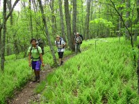
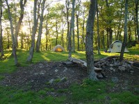
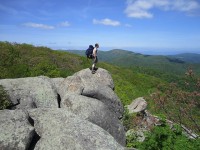
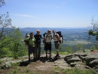
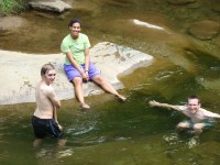
My son Nic, grand-daughter Cally, nephew from Germany Felix, and I did the first stretch of the AT in Nelson County, starting at Salt Log Gap in the George Washington National Forest (about 3 miles south of the Nelson border) and ending at Route 56 (Crabtree Falls Highway) about 18 miles to the north. It is a relatively easy stretch that goes through varied woodlands, passing interesting rock formations, including Spy Rock, which offers a 360 degree panorama view which is one of the most spectacular along the Virginia Blue Ridge. We camped at its base and then continued on the next day over Maintop Mountain and then The Priest, the highest mountain in the region. While wooded at the top, The Priest has fine rocky viewpoints below the summit on both sides. Depending on elevation, the forests were abloom in Flaming Azalea, Mountain Laurel, and Rhododendron, and many wildflowers (including two of my favorites, Fire Pink and Yellow Lady Slippers) graced the sides of the trail.   At the end of the overnight hike, across Route 56, Nic, Cally and Felix cooled off in the Tye River by the AT suspension bridge which marks the beginning of the climb up Three Ridges Mountain, the next trip.



Looks like fun! Save a nice section for late July or August so that I can join you!