Fri 15 Jul 2011
Hiking the AT in Nelson County: Part 3
Posted by Bob under Appalachian Trail, Hiking/Sauntering, Nature
No Comments
I hiked the last twenty or so miles of the Appalachian Trail in Nelson County, along with a couple extra miles to McCormick Gap in Shenandoah National Park, in two day hikes on June 30 and July 14. At some points, the AT weaves itself around the border of Nelson and Augusta counties, but remains mostly in Nelson.
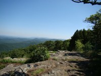
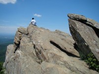
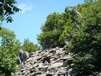
The first 10 miles or so is mostly in the woods, but offers nice views, mainly of the Shenandoah Valley, at periodic rocky outcroppings. The one mountain along the way, Humpback Mountain (3600 feet) is wooded at the summit, but offers striking views of the Wintergreen resort from the south side, and a nice overlook and interesting rock formations on its north side. The most spectacular place in this section, Humpback Rocks, is .3 miles off the AT on a side trail. The jagged rocks themselves vie with the view for the top attraction.
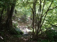
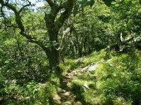
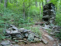
The next ten miles offer pleasant hiking through a predominantly Oak-Hickory forest. Here one’s focus is drawn more to the immediate environment: the woodland flowers and their pollinators, remnants from the hardscrabble life of early mountain settlers, the almost-constant “tea” call of the Eastern Towhee and (if you’re lucky like I was) the sight of the strikingly large and colorful Pileated Woodpecker.
The final mile is jarring: suddenly one is crossing Interstate 64 on an overpass, with its roar of traffic, which remains audible for the last mile or so as the AT follows along the Augusta-Nelson border as its heads towards McCormick Gap.
After Monika (my trusty transportation team) picked me up, we repaired to the local brewery, Devils Backbone, where Three Ridges Mountain dominates the view from the outdoor veranda.


No Responses to “ Hiking the AT in Nelson County: Part 3 ”