Hiking/Sauntering


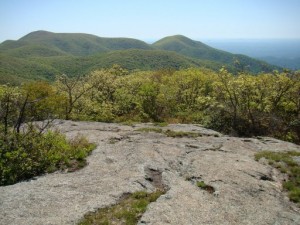
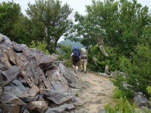
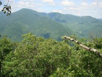
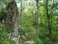
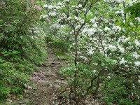
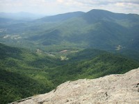
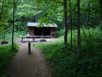
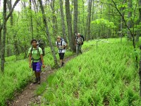
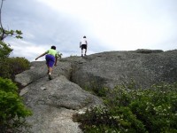
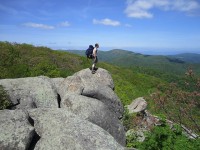
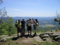
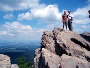
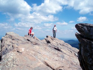
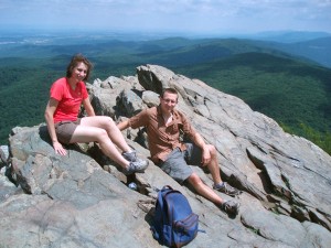
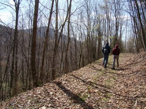
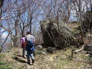
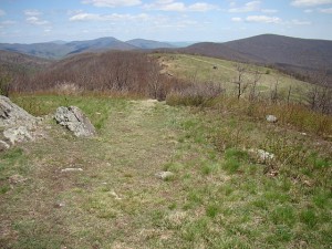
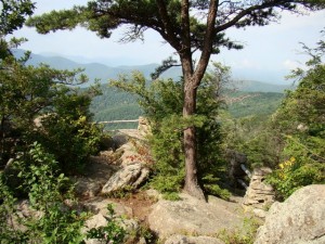
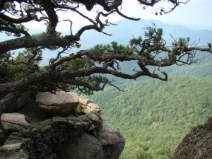
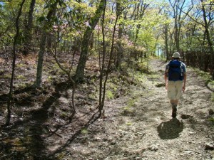
I hiked the next 10.7 mile section of the Appalachian Trail in Nelson County as a day hike on June 14th.  Starting from the trailhead on Route 56 by the suspension bridge over the Tye River (where Nic, Cally and Felix went swimming at the end of the first hike), I began the 3000 foot ascent of Three Ridges Mountain, which dominates this section of the AT.  The trail is graded nicely, and at the higher elevations, mountain laurel and rhododendron were still fully in bloom, along with numerous wildflowers.  While the  three summits of Three Ridges and  Bee Mountain are wooded, there are a series of fine rocky outlooks along the way.  Part of the Three Ridges Wilderness Area, this is a lovely and wild part of the AT.  This section ends at Reid’s Gap, where the AT intersects the Blue Ridge Parkway, where Monika had helped me leave a car early in the morning.

click here for more pictures

About 45 miles of the Appalachian Trail lie within or around the border of Nelson County,  and I’ve resolved to hike them this summer.

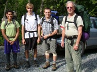
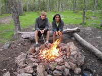
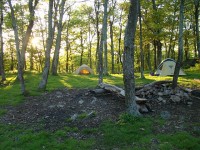
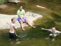
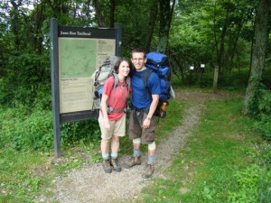
My son Nic, grand-daughter Cally, nephew from Germany Felix, and I  did the first stretch of the AT in Nelson County, starting at Salt Log Gap in the George Washington National Forest (about 3 miles south of the Nelson border) and ending at Route 56 (Crabtree Falls Highway) about 18 miles to the north.  It is a relatively easy stretch that goes through varied woodlands, passing interesting rock formations, including Spy Rock, which offers a 360 degree panorama view which is one of the most spectacular along the Virginia Blue Ridge.  We camped at its base and then continued on the next day over Maintop Mountain and then The Priest, the highest mountain in the region.  While wooded at the top, The Priest has fine rocky viewpoints below the summit on both sides.  Depending on elevation, the forests were abloom in Flaming Azalea, Mountain Laurel, and Rhododendron, and many wildflowers (including two of my favorites, Fire Pink and Yellow Lady Slippers) graced the sides of the trail.    At the end of the overnight hike, across Route 56, Nic, Cally and Felix  cooled off in the Tye River by the AT suspension bridge which marks the beginning of the climb up Three Ridges Mountain, the next trip.

click here for more pictures

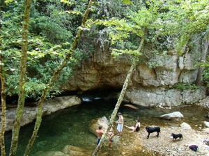
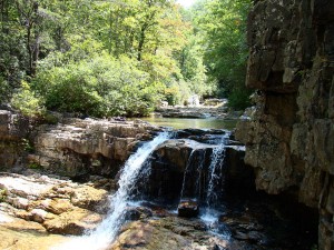
This past Friday I joined a local hiking club for a hike in the (10,000+ acre) Saint Mary’s Wilderness, which I’d never visited before.  My hiking companions were a congenial lot, but there were around thirty of them, which did make the wilderness seem rather populated.  Still, it was a beautiful hike through terrain quite different than I’d been familiar with elsewhere along the Blue Ridge.  For more pictures, click here.

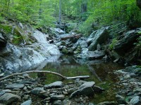
Our route started at milepost 23 on the Blue Ridge Parkway, and followed the Mine Bank Trail through down to the St. Mary’s Trail, where we turned right to visit the main St. Mary’s falls; we then backtracked and hiked out along the St. Mary’s Trail to the forest service road parking lot at FSR 41.  The rock formations and deep pools along the St. Mary’s River, along with the mountain laurel and rhododendron forests and the prolific variety of mushrooms along the Mine Bank Trail, were spectacular.

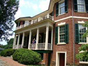
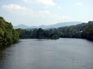
Nic and Alison spent the father’s day weekend with us, and on Saturday we all went to Lynchburg, about 45 minutes to the south.  While Monika checked out Antique Row, Nic, Alison and I took the tour at an old federal-style mansion above the James River named Point of Honor.  We managed to get lost on our way out of Lynchburg, ending up on the Blue Ridge Parkway at the amazing water gap where the James River cuts through the Blue Ridge.  It was worth the detour!  On Sunday the three of us returned to the Parkway father north and took the short hike to Humpback Rocks, with marvelous views and a beautiful day.

Yesterday Nic, Alison and I hiked a lovely 5 1/2 mile loop around and over Cold Mountain, in the nearby George Washington National Forest.  Temperatures and flora were those of several weeks ago in the valleys, with the first flowering trees of spring, Serviceberries, in abundance at higher elevations.  The online trip description compared the hike to being in Switzerland, which seemed a bit over the top.  But once we reached the long summit meadow, and Alison reminded me of the movie, The Song of Music began ringing in my ears, despite the absence of snow-covered peaks.  More pictures here.

plunge1plunge2plunge3

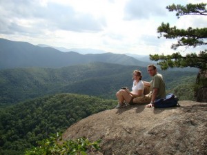
Along the Blue Ridge, great views are not hard to find.  The Blue Ridge Parkway offers many down into the valleys, and almost every turn of valley roads brings new vistas.  But great views away from roads offer special charm, and recently we’ve taken short hikes to two great overlooks, one at Wintergreen and one at the James River State Park.

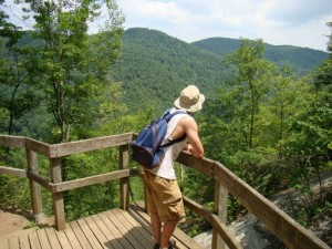
The pictures above are from The Plunge, a trail that does indeed plunge downwards to a great overlook of the Rockfish Valley and the Blue Ridge Mountains (the uphill part is on the return trip).  The Blackrock and adjoining trails wind through wonderful mountain laurel forests with an abundance of wildflowers.   The views are magnificent.

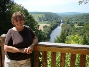
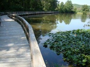
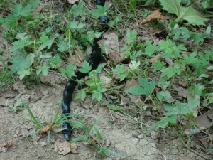
james1james2james3

These pictures are from the James Rivers State Park, about an hour away, which offers an array of hiking and biking trails as well as kayaking and canoeing on the river.  One hike took us to the overlook of the junction of the Tye and James rivers, where we also got great views of two bald eagles.  Other walks took us around a quiet pond and by a blueish snake that we believe to be a Northern Black Racer (can anyone offer a definitive identification?).  It’s a reminder that views from above include what’s at our feet too.

Click here for more views at both places.

For those who like hiking, this post is meant as an enticement to come visit us!  It also testifies to the fact that one great thing about retirement is that there is ample time to combine work and play.  With five acres and a needy house, there is always work to be done.  But we’ve found time to take advantage of wonderful local opportunities as well.

Walking and Birding in Rockfish Valley
DSC02570smDSC02989smDSC00946sm

The Rockfish Valley Foundation has developed a network of trails less than ten minutes away.  Monika and I have  hiked several of them in various seasons, as well as going on a guided bird walk.  The terrain is easy but varied, and the range of birds and other creatures (we saw a mink chasing and catching a rabbit on the birding walk!) extraordinary.  And the view up the creek to Three Ridges Mountain breathtaking.  Click here for more pictures, including Monika’s picture of a bluebird peeking out from its house.

Panoramic Views from Spy Rock
DSC03249smDSC03254smDSC03262sm

Spy Rock is a rocky dome that provides one of the best views (360 degrees) of the central Blue Ridge mountains.  The trailhead is only about 20 minutes away, and the round-trip hike only 3.2 miles.  The forest on the way up was filled with flowering dogwoods, which had faded weeks ago at lower elevations.  Nic and I did this hike on May 21, shortly after we finished putting in the vegetable garden.  Flaming azaleas and rhododendrons were in bloom at the higher elevations.  An unexpected surprise was the rock pool teaming with tadpoles on the summit!  Click here for more pictures.

Blackrock Mountain in Shenandoah National Park
DSC03436smDSC03440smDSC03446sm

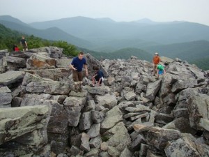
I took this short hike on June 21 (just over a mile round trip from the Jones Run parking area) with Nic and Alison, who continued on to camp overnight on their anniversary weekend.  Despite the bouldering to the summit, it’s an easy hike rewarded with great views of mountains and valleys and of the winding Blue Ridge Parkway in the distance.  Click here for more pictures.

Crabtree Falls
DSC03507smDSC03511smDSC03514sm

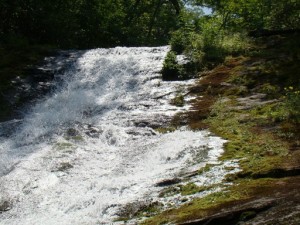
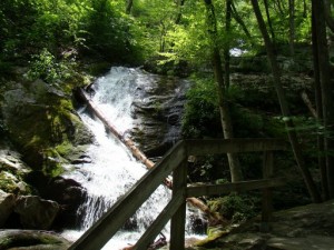
Nic and I hiked the four mile (round trip) Crabtree Falls trail,  about twenty minutes drive away, in late June.  A sign at the trailhead reminds hikers that 23 people have died by getting too close to the series of cascades and waterfalls.  Despite the touristic hype about the falls–e.g. the claim that they are the highest east of the Mississippi–they are impressive and beautiful in their own right, and the trail well-designed to keep one safe and yet able to see the highlights.    A neat feature is a boulder cave that one can go through and rejoin the trail slightly higher up!  Click here for more pictures.


« Previous Page