Appalachian Trail


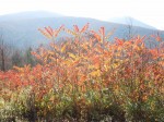
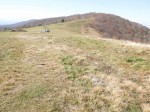
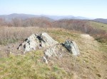
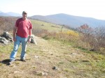
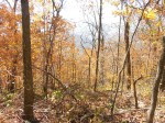
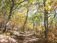
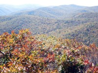
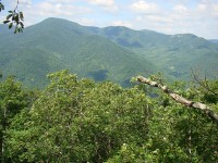
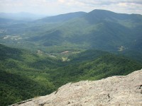
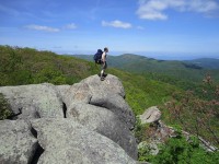
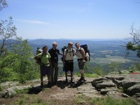
Having hiked the 45 miles of the Appalachian Trail in Nelson County last year, I’m starting on the trail as it goes south into Amherst County.  Today I hiked, with Dave Pfeiffer, an 8.5 mile stretch from Salt Log Gap to Route 60 that includes two cleared summits, Tar Jacket Ridge and Cold Mountain, that offer great views in all directions. Most leaves had fallen at the higher elevations, but there was still nice color below.  A beautiful, if somewhat hazy, fall day for a hike.


Spy Rock on the Appalachian Trail nearby remains my favorite local walk, with a 360 degree panorama, almost all wilderness and mountains.  Autumn foliage wasn’t quite at its peak, but the colors were still nice.


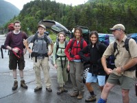
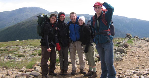
This post will mix reminiscences about three traverse attempts across the Presidential Range of New Hampshire’s White Mountains: a winter traverse with the Harvard Mountaineering Club way back in January 1963; a planned June 2007 traverse with five family members which an ill-timed accident prevented me from participating in; and the backpacking trip last week with my two sons Nic and Tim and their wives Alison and Megan.  Each of these trips was interrupted by Mt. Washington’s famously bad weather, but with my climb over Mt. Pierce and up Mt. Madison with Nic (pictured above with Mt. Adams in the background), I finally completed the ascent of all the “president” Presidentials.

Origins

It seems almost insane in retrospect, but as a Harvard freshman with some hiking but no real mountaineering experience, I participated in what was then a Harvard Mountaineering Club (HMC) tradition: a winter traverse of the Presidential range at the end of January, in the break between semesters.  My memories are a bit hazy, but I know that we hiked up to a cabin quite high on the side of Mt. Adams on the first day, and then continued, with snowshoes and crampons, the next day over the summits of Adams, Jefferson and Clay to the side of Mt. Washington, where we pitched tents outside the (boarded up) Lake of the Clouds AMC hut.  I believe that we hiked up late that afternoon to the weather observatory on the summit of Mt. Washington, where the meteorologists, unused to visitors that time of year, invited us in for a short visit.  It was a cold night back in our tents!  The next day we continued on over the various summits to what was then called Mt. Pleasant (later renamed Mt. Eisenhower).  Here we ran into a ferocious snow storm with very high winds, and we were literally blown off the mountain, making an unplanned descent of its eastern side.  My main memory of that descent is crossing a field of young conifers on my snowshoes, and falling through the snow into the air pockets created by branches under the snow, getting the snowshoes tangled up in the branches.  But somehow we made it through and out.

The 2007 Expedition
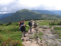
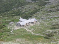
As noted above, I did not get to go on the 2007 hike, but it too was interrupted by bad weather.  Having climbed the Mt. Webster-Jackson trail out of Crawford Notch, going over Mts. Webster and Jackson and staying at Mizpah Hut the first night, the group (Cally, Sylvia, Nic, Alison and Justin, along with Lee Spiller who took the picture above) had beautiful weather for the stretch along the AT onward to Lake of the Clouds Hut.  But the next day (in June!) brought freezing temperatures, snow and sleet, and a decision was made to come down the trail that ends up at the cog railway station, not risking the very exposed route over the northern Presidentials to the Madison Spring Hut.

click here for a YouTube video of their second day

2012: A Detour and a Completion
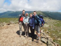
This past week, our party of five followed the Crawford Path from Crawford Notch up to Mizpah Spring Hut and the AT, where we spent our first night.  The next day, which started in the fog but cleared up nicely, we continued over Mts. Pierce, Eisenhower and Monroe and then on to  Lake of the Clouds Hut, where we spent the night.  Since Alison has led tours at President Monroe’s home, Ashlawn, climbing Mt. Monroe (5372′) was a special moment, and she was pleased that Mt. Monroe, with its two peaks, compares very well to the other southern Presidentials.

The next morning we hiked up to the summit of Mt. Washington, the highest mountain (6288′) in the U.S. northeast.  The weather worsened at the summit, however, and after waiting two hours to see if it would get better (it didn’t), we reluctantly arranged to take a van down to our car at Pinkham Notch.  We then drove around to the Valley Trail up to Madison Spring Hut (seeing a mother moose and her calf along the way).  Coming on top of our climb up Mt. Washington in the morning, the hike up the Valley Trail proved to be an exhausting one (with a 3500 feet elevation increase), but we all made it while dinner at the hut was still in progress.  In the morning, Nic and I climbed Mt. Madison, which along with Mt. Pierce, belatedly completed for me the Presidentials that the Harvard Mountaineering Club traverse had not covered.  The weather partly cleared at the top, giving us beautiful views of the clouds below and the summit of nearby Mt. Adams.  We all hiked out later in the afternoon and headed to my sister Eleanor’s place in the Catskills.  Overall, a great trip, and my thanks to Nic and Tim for conceiving and organizing it.

click here for more pictures of the 2012 trip

click here to learn more about the AMC huts

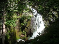
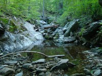
A new waterfall for me, that is.  By now I’ve hiked a good proportion of the trails around here, but the Mau Har Trail in the Three Ridges Wilderness Area was a new one for me.  Departing from the AT about two miles in, it leads one up and down until it reaches a series of Waterfalls on Campbell Creek, on the western side of Three Ridges Mountain, one of the two highest in the region.  At about 6 1/2 miles round trip, it’s a nice short day hike.  The mountain laurel and rhododendron were past their prime at the lower elevations, but there was a nice array of wildflowers to enjoy along the way.

some more pictures here

 
Above: the 2007 expedition team en route to Lake of Clouds Hut

In June 2007, an annoying accident prevented me from being part of a family hike I’d planned on the Appalachian Trail in the White Mountains, New Hampshire, staying at Appalachian Mountain Club huts along the way.  This year Nic and Tim have sweetly taken it upon themselves to organize a repeat of the hike this summer.  It’s planned for this coming July and I’m very much looking forward to it!  [Note: pictures from the 2007 expedition can be seen in three pages at our family website, and there’s also a YouTube video of the second day based on pictures taken by Nic, Alison, Cally, Sylvia, Justin, and my brother-in-law Lee, who fortunately was available to take my place.]
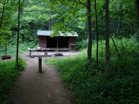
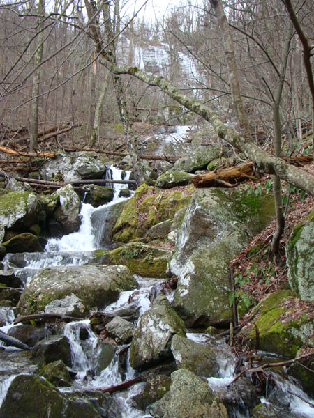
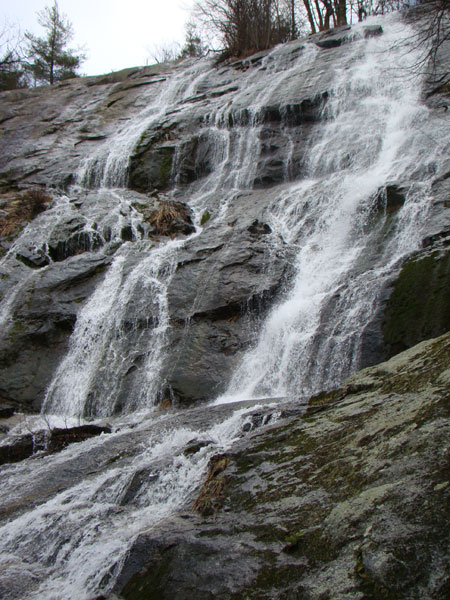
So barring another stupid accident, it’s up to me (now as a retired old geezer) to keep up with Nic and Alison and Tim and Megan this July!  Accordingly, I officially began today my “training” for the hike this summer with a six-mile saunter up our local Crabtree Falls and beyond to Crabtree Meadow and back.  Although there were touches of ice here and there, the temperatures were in the fifties and rain earlier in the week meant lots of water in the falls.  And the lack of foliage meant that the falls were visible through the trees at all times.   Above the falls, the trail runs along the floodplain of Crabtree Creek, which below the falls feeds into the South Fork of the Tye River.  There is a nice mountain laurel forest and pleasant campsites along the way.  An auspicious beginning for my training regime!  A few pictures of today’s hike below.
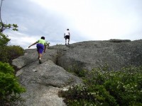
 

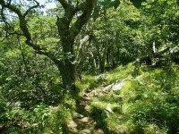
I hiked the last twenty or so miles of the Appalachian Trail in Nelson County, along with a couple extra miles to McCormick Gap in  Shenandoah National Park, in two day hikes on June 30 and July 14.  At some points, the AT weaves itself around the border of Nelson and Augusta counties, but remains mostly in Nelson.

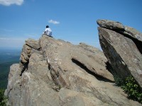
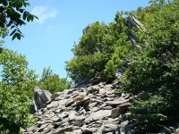
The first 10 miles or so is mostly in the woods, but offers nice views, mainly of the Shenandoah Valley, at periodic rocky outcroppings.  The one mountain along the way, Humpback Mountain (3600 feet) is wooded at the summit, but offers striking views of the Wintergreen resort from the south side, and a nice  overlook  and interesting rock formations on its north side.  The most spectacular place in this section, Humpback Rocks, is .3 miles off the AT on a side trail.  The jagged rocks themselves vie with the view for the top attraction.

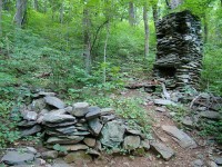
The next ten miles offer pleasant hiking through a predominantly  Oak-Hickory forest.  Here one’s focus is drawn more to the immediate environment: the woodland flowers and their pollinators, remnants from the hardscrabble life of early mountain settlers, the almost-constant “tea” call of the Eastern Towhee and (if you’re lucky like I was) the sight of the strikingly large and colorful Pileated Woodpecker.

The final mile is jarring: suddenly one is crossing Interstate 64 on an overpass, with its roar of traffic, which remains audible for the last mile or so as the AT follows along the Augusta-Nelson border as its heads towards McCormick Gap.

After Monika (my trusty transportation team) picked me up, we repaired to the local brewery, Devils Backbone, where Three Ridges Mountain dominates the view from the outdoor veranda.

click here for more pictures

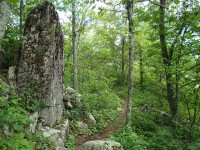
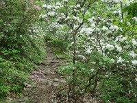
I hiked the next 10.7 mile section of the Appalachian Trail in Nelson County as a day hike on June 14th.  Starting from the trailhead on Route 56 by the suspension bridge over the Tye River (where Nic, Cally and Felix went swimming at the end of the first hike), I began the 3000 foot ascent of Three Ridges Mountain, which dominates this section of the AT.  The trail is graded nicely, and at the higher elevations, mountain laurel and rhododendron were still fully in bloom, along with numerous wildflowers.  While the  three summits of Three Ridges and  Bee Mountain are wooded, there are a series of fine rocky outlooks along the way.  Part of the Three Ridges Wilderness Area, this is a lovely and wild part of the AT.  This section ends at Reid’s Gap, where the AT intersects the Blue Ridge Parkway, where Monika had helped me leave a car early in the morning.

click here for more pictures

About 45 miles of the Appalachian Trail lie within or around the border of Nelson County,  and I’ve resolved to hike them this summer.

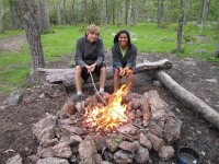
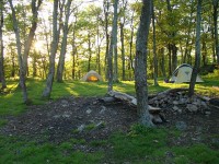
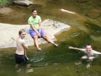
My son Nic, grand-daughter Cally, nephew from Germany Felix, and I  did the first stretch of the AT in Nelson County, starting at Salt Log Gap in the George Washington National Forest (about 3 miles south of the Nelson border) and ending at Route 56 (Crabtree Falls Highway) about 18 miles to the north.  It is a relatively easy stretch that goes through varied woodlands, passing interesting rock formations, including Spy Rock, which offers a 360 degree panorama view which is one of the most spectacular along the Virginia Blue Ridge.  We camped at its base and then continued on the next day over Maintop Mountain and then The Priest, the highest mountain in the region.  While wooded at the top, The Priest has fine rocky viewpoints below the summit on both sides.  Depending on elevation, the forests were abloom in Flaming Azalea, Mountain Laurel, and Rhododendron, and many wildflowers (including two of my favorites, Fire Pink and Yellow Lady Slippers) graced the sides of the trail.    At the end of the overnight hike, across Route 56, Nic, Cally and Felix  cooled off in the Tye River by the AT suspension bridge which marks the beginning of the climb up Three Ridges Mountain, the next trip.

click here for more pictures

« Previous Page